


"I must study politics and war so that my sons may have liberty to study mathematics and philosophy. -- John Adams


JANUARY 21, 2012 -
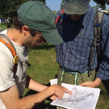
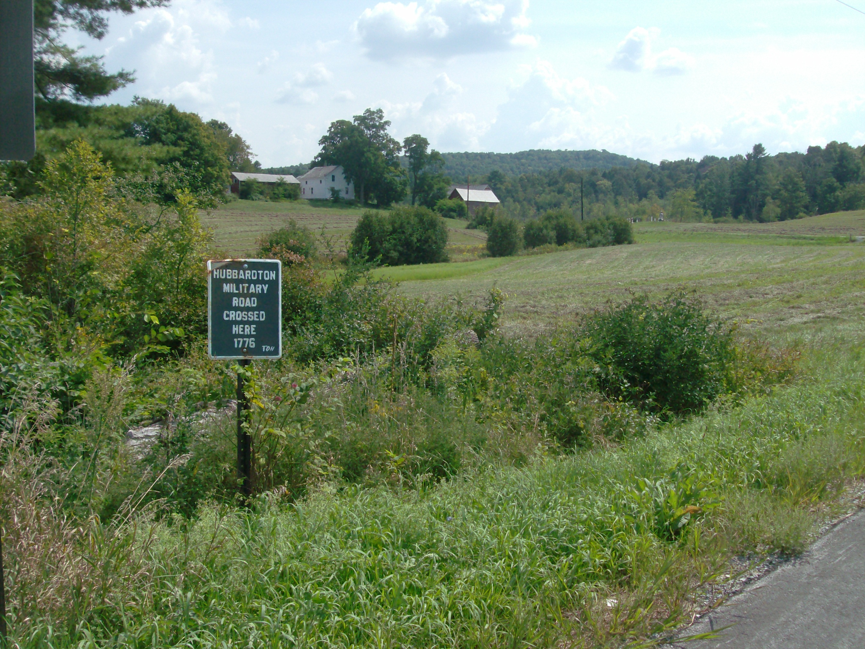
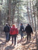
On one of the few WINTER days we had this year, about 30 people gathered at the Castleton Free Library to discuss the formation of an organization devoted to the Hubbardton Military Road. Tom Hughes, local historian, led the informal meeting. Through the aid of the Crown Point Road Association, a great turnout spurred a lot of great ideas and very positive energy. At the present, there is no date planned for the next meeting, but as soon as one is determined, the date will be announced here on this website.
The minutes of the meeting were taken thanks to the efforts of Rebecca Tucker, CPRA Secretary. The full minutes of the meeting can be found HERE
The original meeting agenda is detailed HERE
This website will be the primary location for all things related to the Hubbardton Military Road. Be sure to check back often for new content and announcements.
APRIL 15, 2012 -
The meeting, starting at 2:00 p.m. will take place in the 200-year-old Higley House on the famous and architecturally-distinguished Colonial village green. The well-preserved Higley House Museum is located at 407 Main Street. There is no admission charge for the April 15 program which is open to both members and non-members. Light refreshments will be provided. For more information, the public may telephone Holly at 468-5105 or Tom at 388-2967. For the complete details, visit our News page found HERE

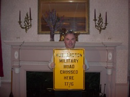
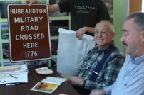
Tom Hughes holds an unused road sign
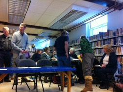
Downstairs at the Castleton Library
July 5-8, 2012 -
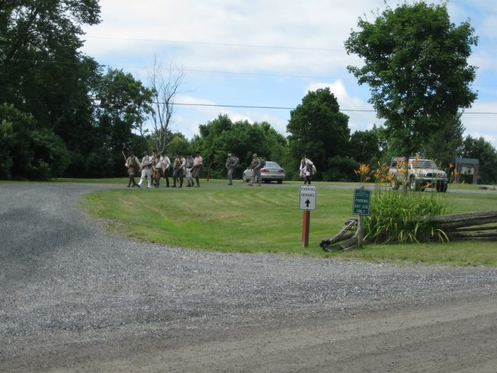
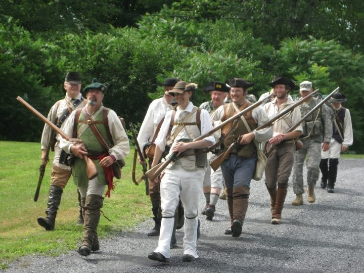
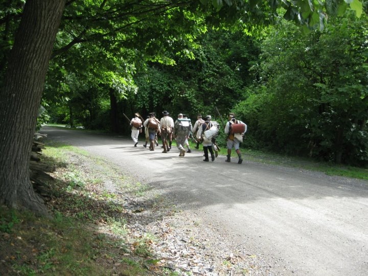
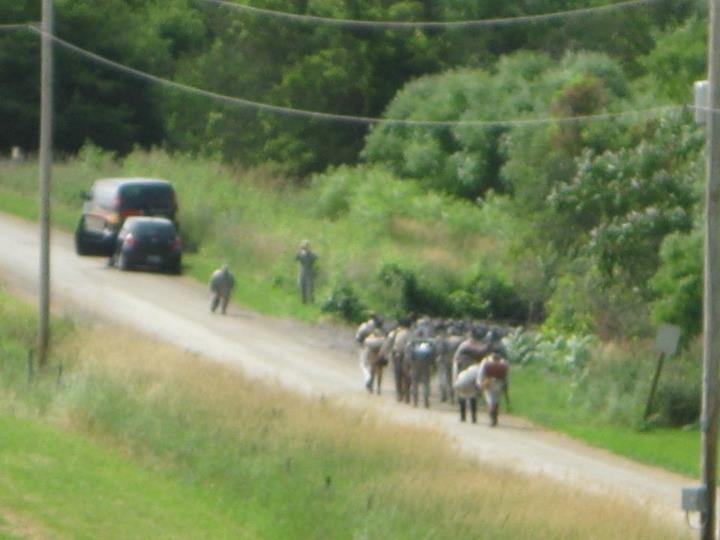
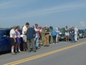
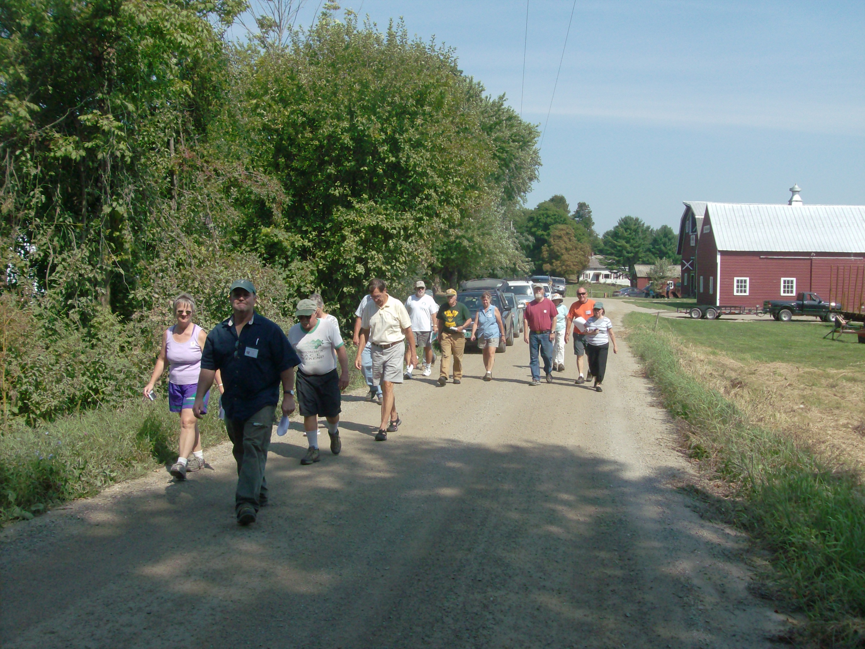
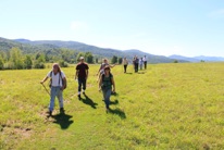
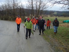
The 235th anniversary of the withdrawal of the Northern American Army from Mount Independence was celebrated. As part of the ceremonies, a number of people marched from Mt Independence to the Hubbardton Battlefield approximately along the route of the military road. The full size images can be viewed by clicking on any of the thumbnails below.

July 25, 2012 -
Military Road Car Tour
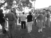
On Saturday, August 25, starting at 9:30 a.m., Jim Rowe led a guided driving tour along part of the 1776-77 Military Road. The tour explored the section from the Mt Independence site to the Hubbardton Battlefield site. Below are some photos taken by Tom Hughes. The full size images can be viewed by clicking on any of the the thumbnails below.
October 13, 2012 -
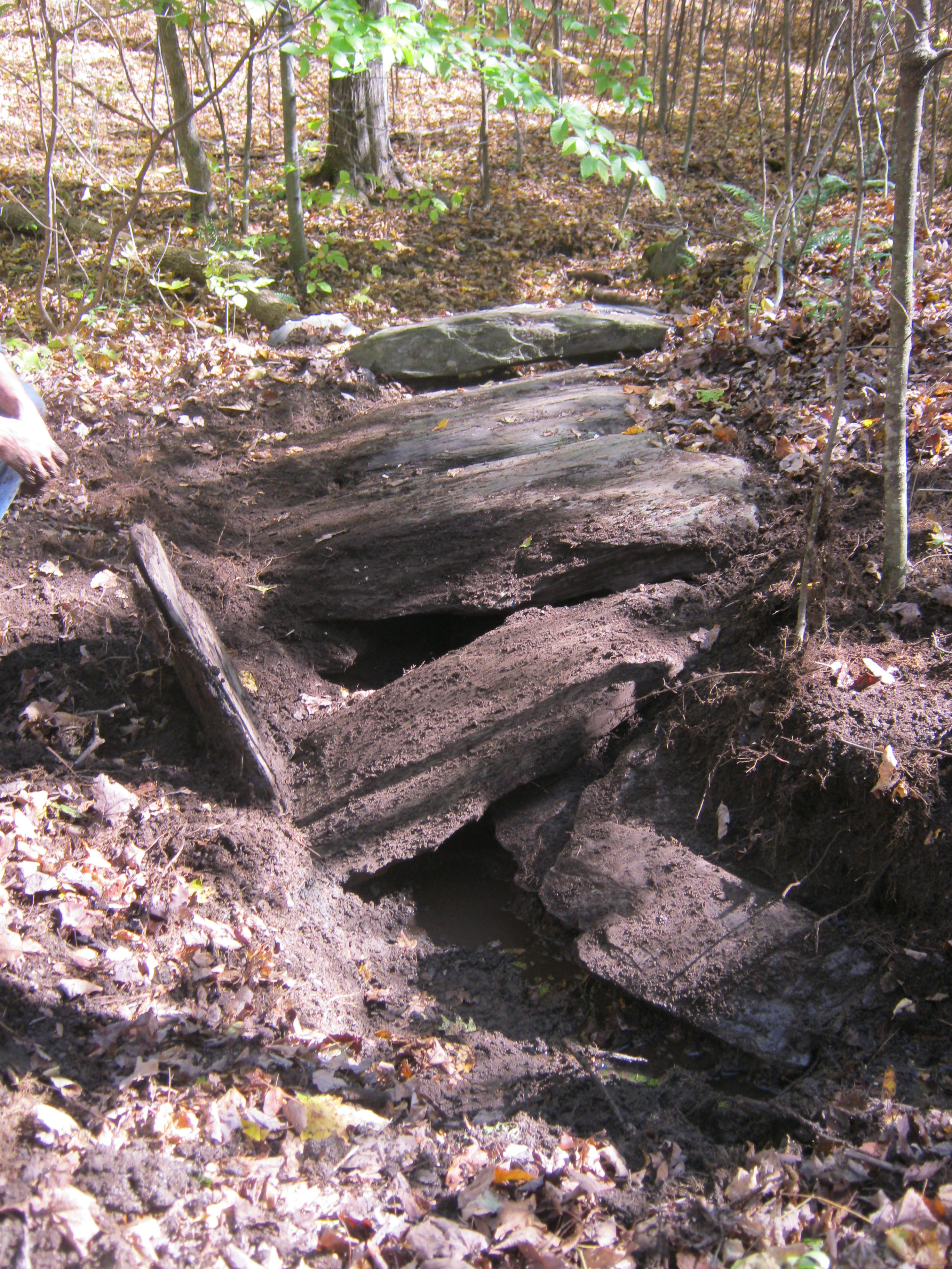
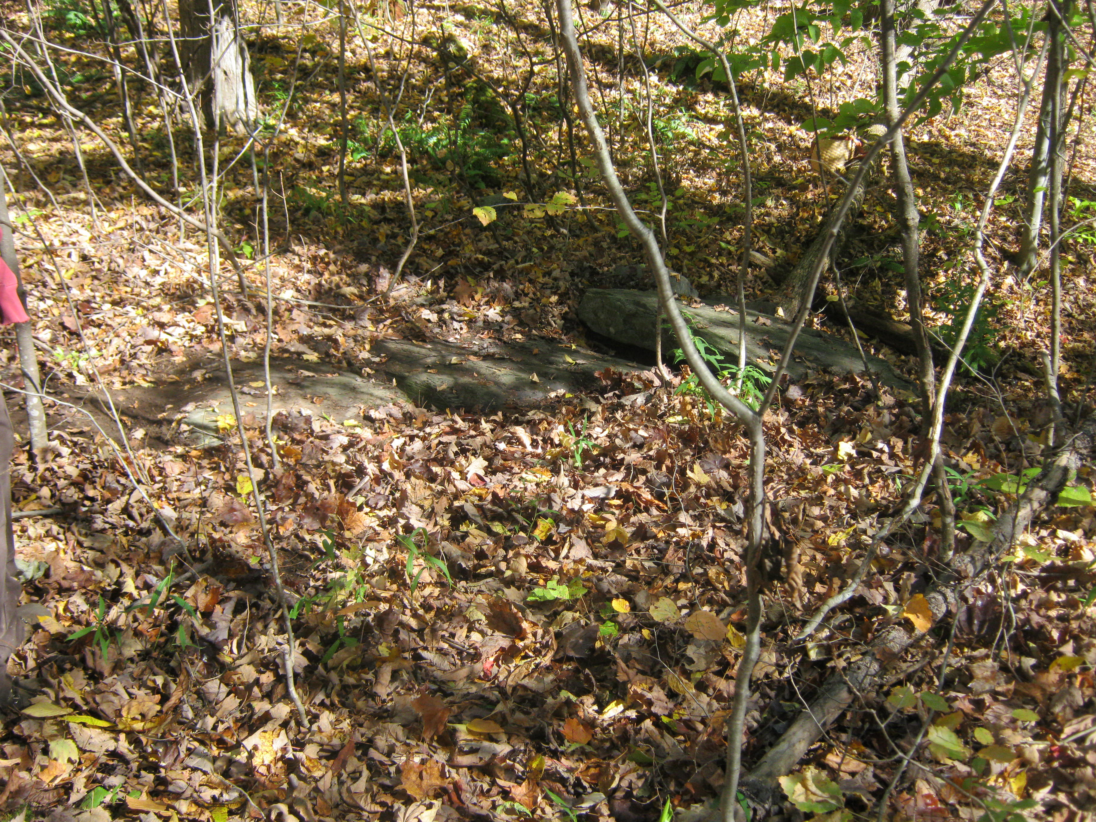
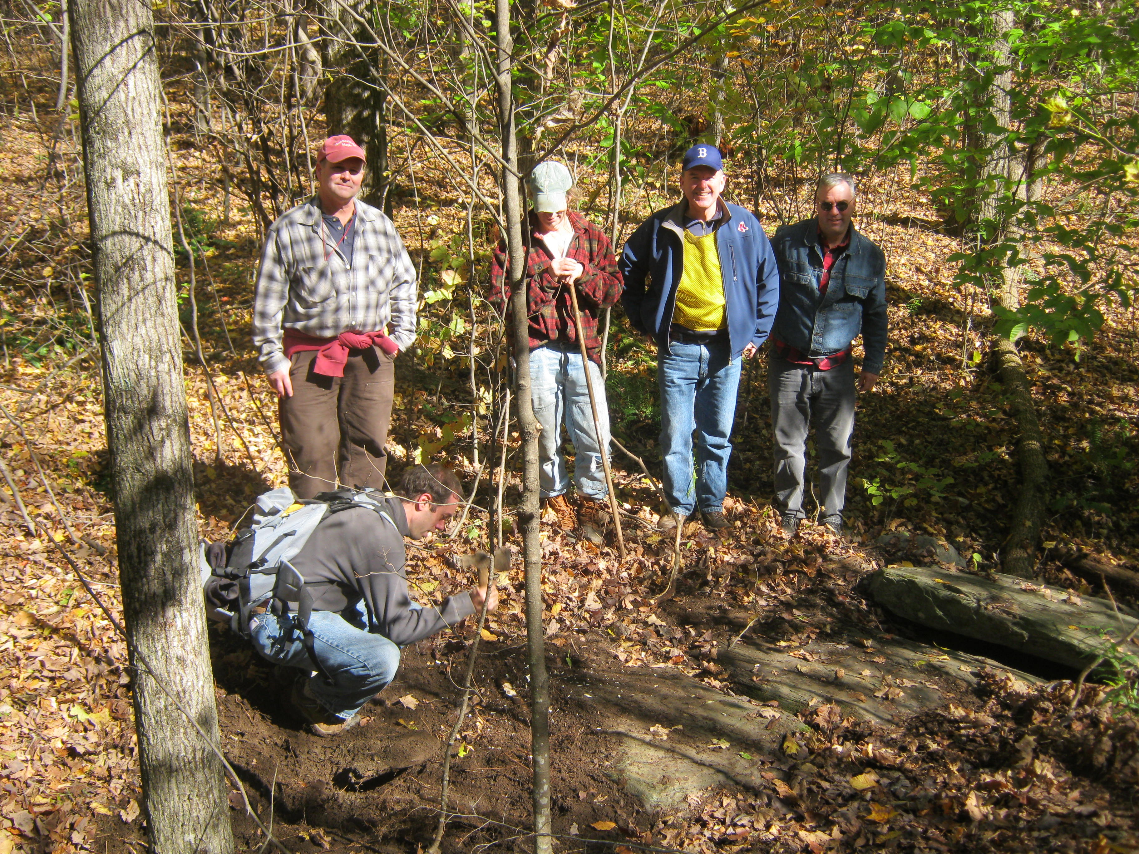
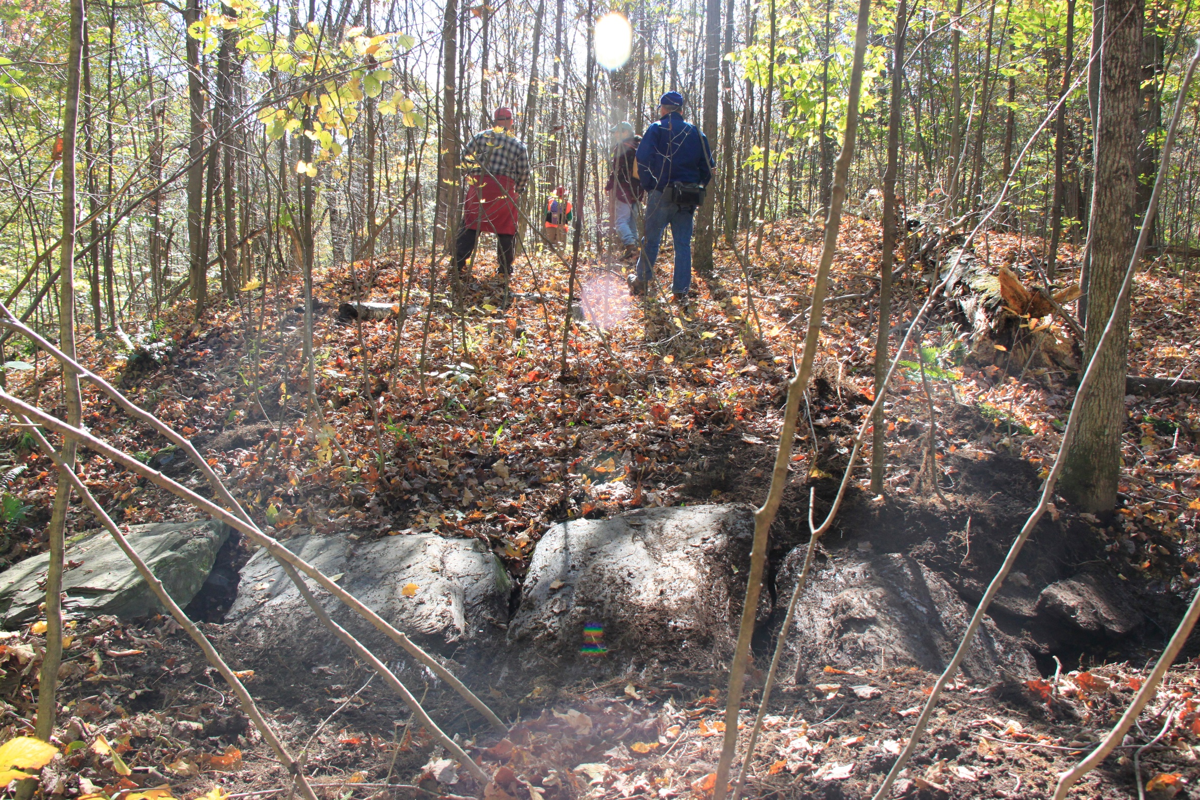
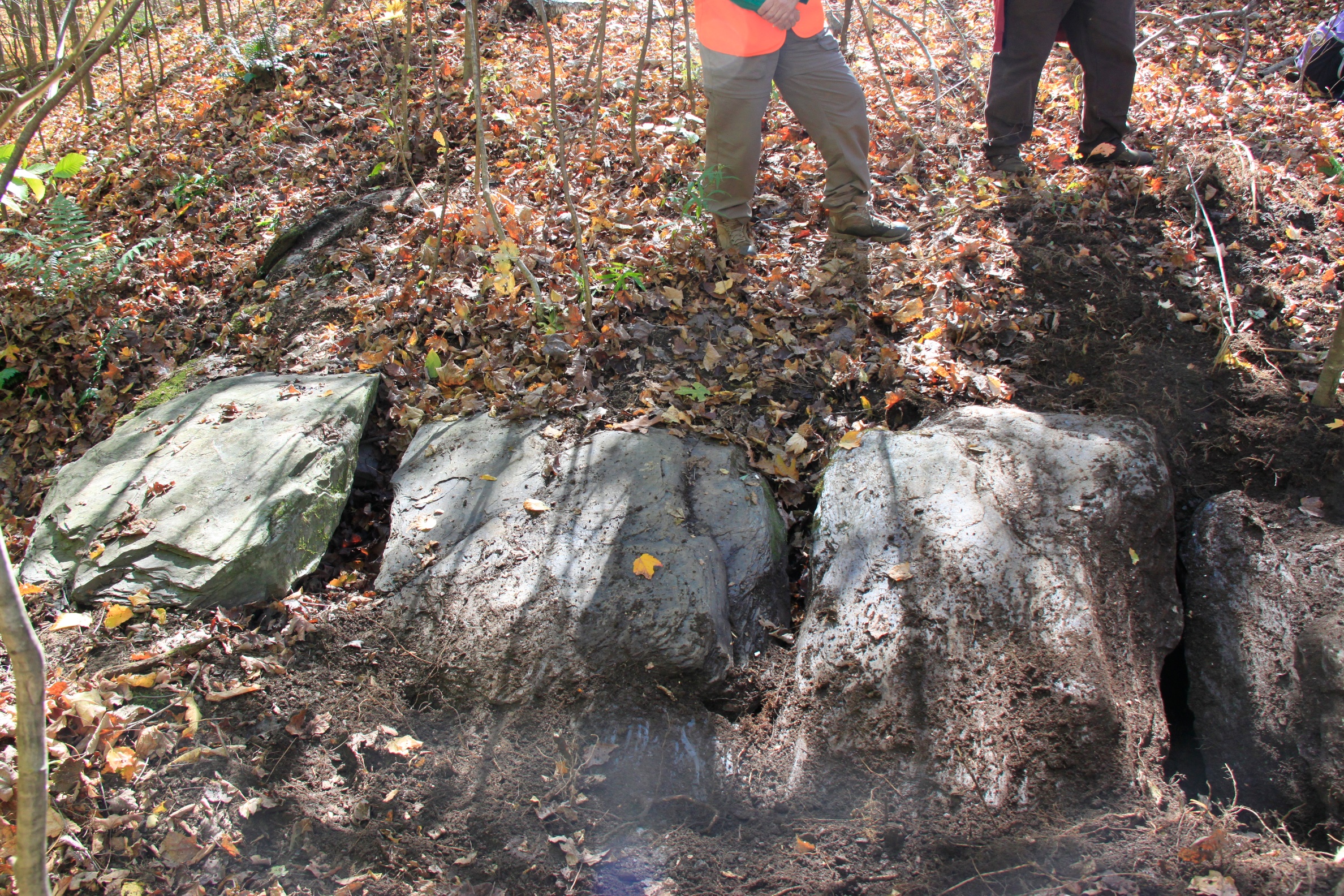
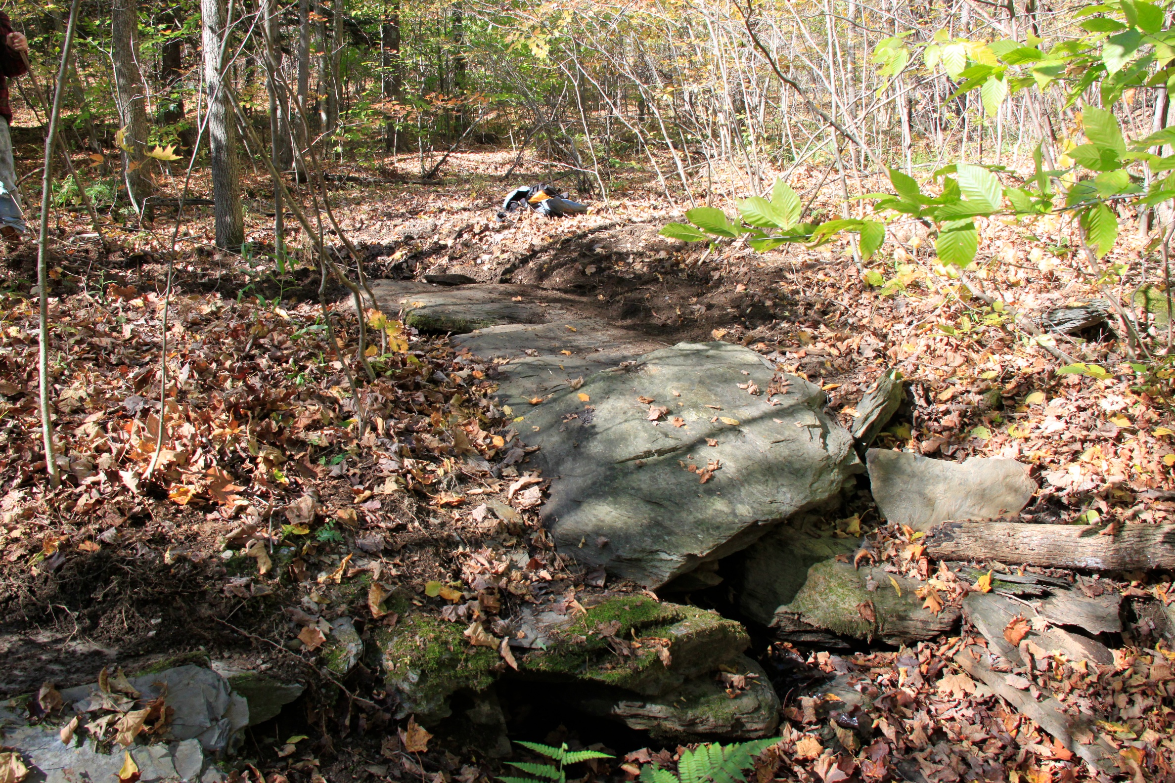
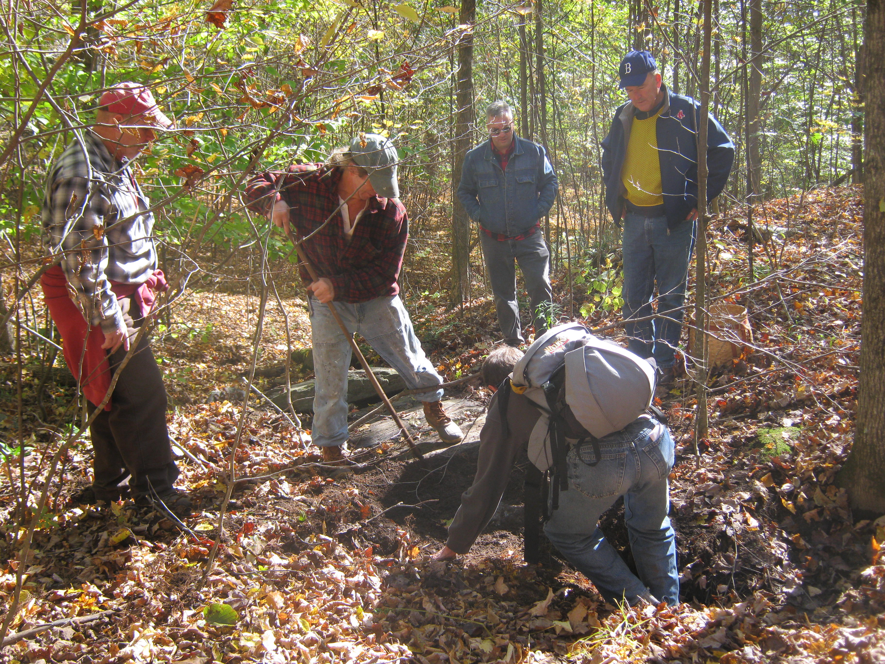
Military Road Bridge Search
On Saturday, October 13, starting at 10:00 a.m., Jim Rowe led a hike in Benson to find the stone bridge that was documented in the Joseph Wheeler book. It took the 6 hikers almost 3 hours of effort, but by all accounts, it was positively identified. Many years of debris covered most of its remains, but after some “excavation”, it is now fully visible. It has held up very well over time and is quite a remarkable landmark. If all goes well, it will eventually be marked with a sign. Photos contributed by Barbara Griffith & Dale Christie. The full size images can be viewed by clicking on any of the the thumbnails below.

Old News
©2016 Hubbardton Military Road Association

October 17, 2012 -
Website Update!
Be sure to check out the new Pictures page on the website. Not only does it include a new organization scheme, it contains new photos! Link HERE
November 5, 2012 -
Thanks to the generous efforts of Bill Powers, the complete Joseph Wheeler book is now available for free! He took the time to scan the complete book and make it available for download. There is no reason to worry about copywrite issues because Joseph Wheeler wanted to make it available to everyone and had no restrictions on his published works. The file is 55MB, so be patient with the download time. HERE it is!

November 10, 2012 -
Calendar Update!
A new guided hike has been added to the organization’s calendar page. Find out all the information HERE
December 15, 2012 -
The Benson area exploration continued with some good new findings. The weather was great and with a surprising turnout, the “army” successfully found two cellar holes documented in the Joseph Wheeler book and made another visit to the military bridge. Photos, maps and more information can be found HERE
January 26, 2013 - 2nd Annual Business Meeting
The public was invited to Castleton VT on Saturday, January 26 for the second annual business meeting. The gathering attracted 35 people to attend! The agenda included hearing reports on previous hikes, discussion for potential projects for 2013, mapping research, possible auto tours and more.

January 27, 2013 -
Thanks to the efforts of the Castleton Free Library, the Joseph Wheeler book is now available in a smaller download size and as individual parts. The PDF files can be downloaded by visiting our
The History page.
A higher resolution map from the book was added to the MAPS page
July 27, 2013 -
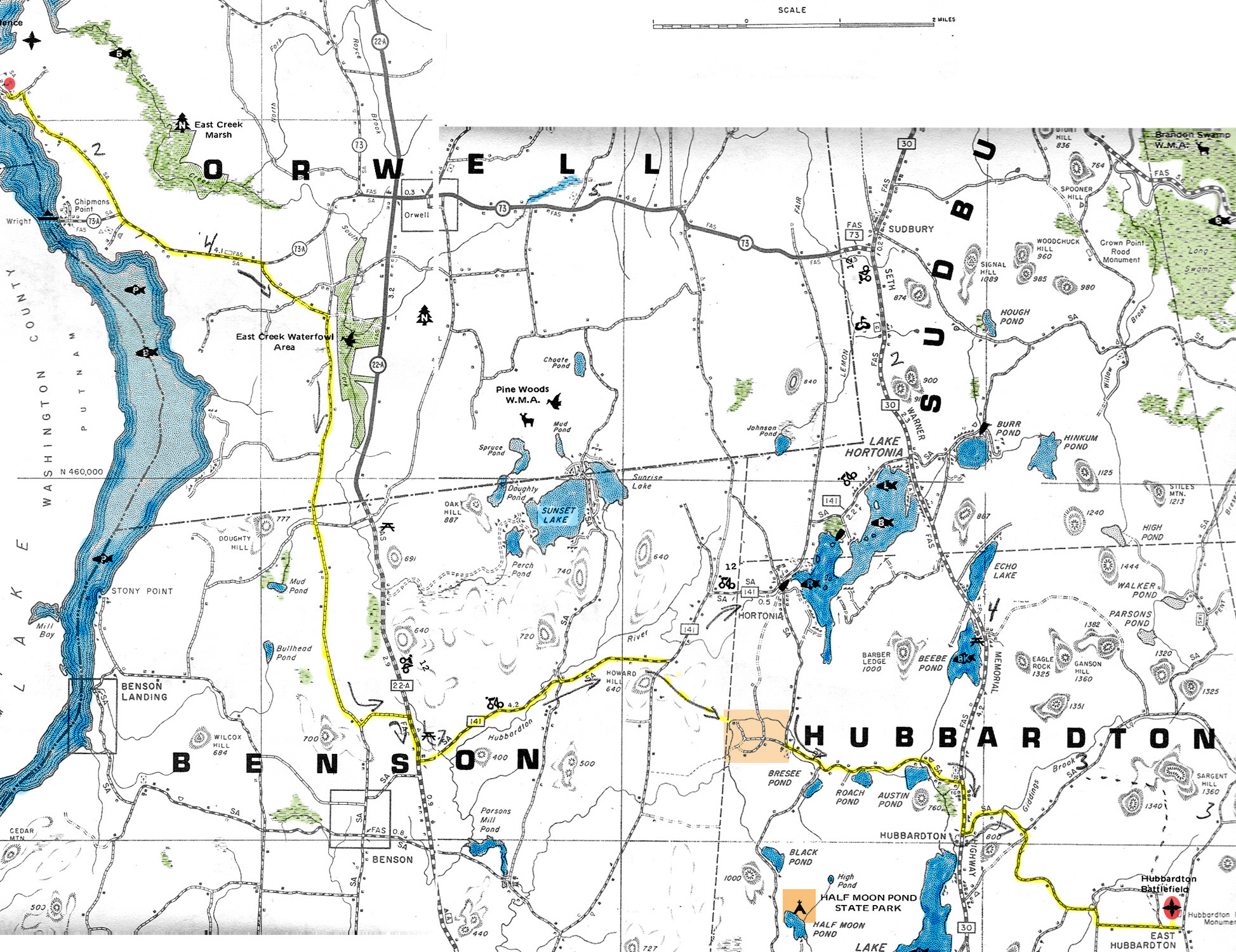
A hike to explore an important segment of the ‘77 road on a beautiful summer day was made. We spent this trip challenging John Clement's 1952 siting of the military road. After much debate a real challenge to a conclusion Joseph Wheeler made in his book was formalized. Pictures from the hike can be found HERE
October 12, 2013 -
We were all thankful for great fall weather for our hike in Benson. After some previous scouting, Dale led the group through the wonderful woods an up the steep terrain to the overlooks. The first one offered a quite rare eastern view of much of the Green Mountains. The actual lookout that was believed to have been used by the Military Road was our second destination. We enjoyed our lunch while soaking in the view. Everyone speculated on what may have been so many years ago. Pictures from the hike can be found HERE


January 18, 2014 -
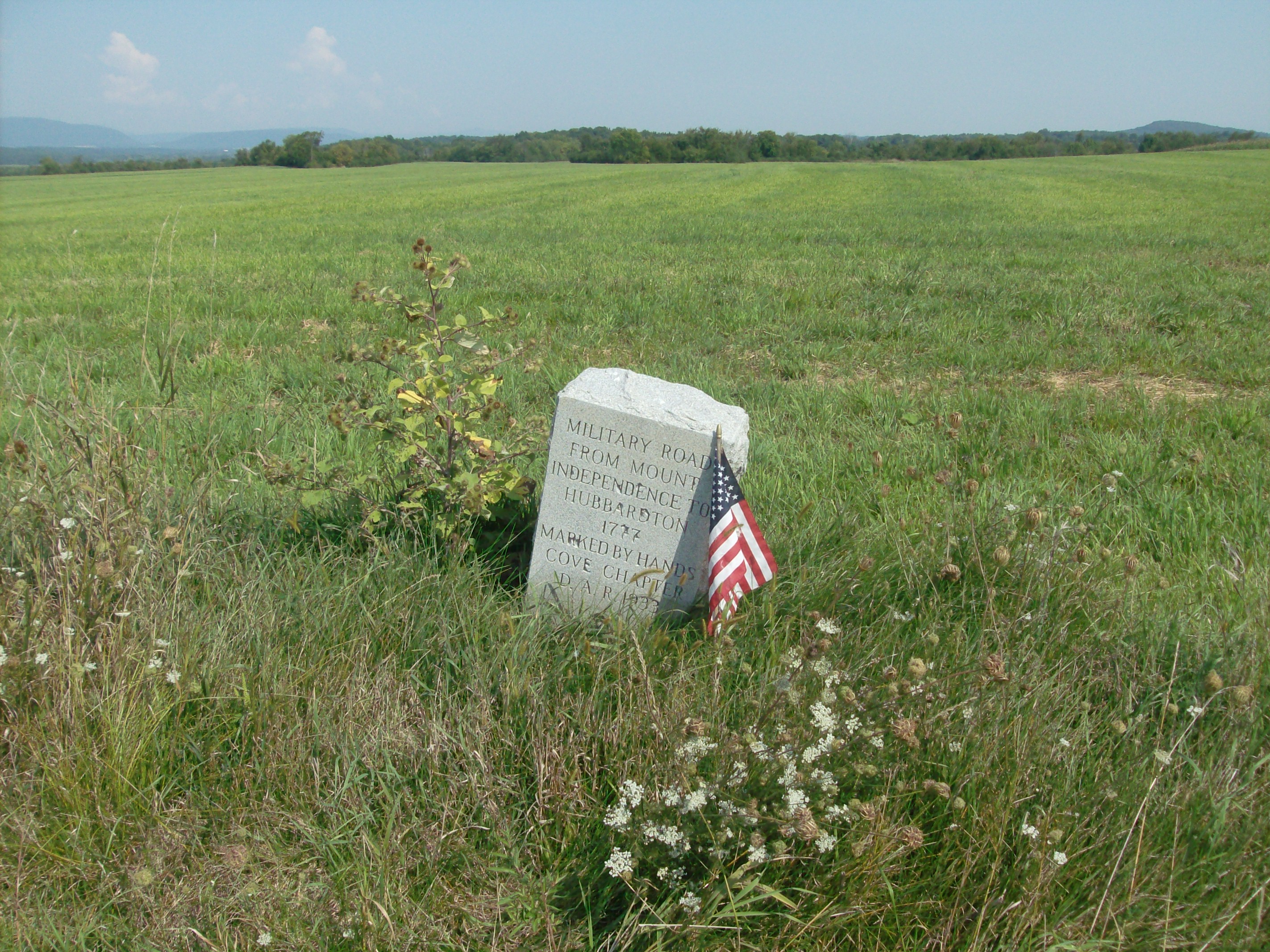
During a CPRA board meeting, a new roadway sign was unveiled. Ten signs have been purchased by the CPRA to replace signs that were originally placed by Joseph Wheeler to mark the route of the Hubbardton Military Road. During 2014 many of the signs will be installed. Photos by Rebecca Tucker are HERE
January 25, 2014 -
Friends of the Hubbardton Military Road gathered at the Castleton Community Center for its annual business meeting. The 17 people in attendance all offered great discussion and a lot of positive energy helped formalize a lot of plans for the coming year. The agenda included a review of 2013, 2014 events, new roadway signs, possible reprinting of Wheeler’s book, various promotion, and ideas for fundraising efforts. Photos from the meeting can be found HERE
February 9, 2014 -
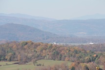
The views from the Hubbardton Battlefield will remain the same for the near future because the group that proposed a wind turbine farm on the local mountaintops has withdrawn their intentions.

April 26, 2014 -
Our first outdoor excursion for 2014 was led by a former Benson resident, Jim Rowe. The weather wasn’t great, but that didn’t stop 11 people from participating. The exploration focused on the military road from Aines Road to the location of the old Benson District No. 6 school on Howard Hill. The road was still evident in places. Thanks for Rebecca Tucker and Barry Griffith for the details and photos viewable HERE
March 20, 2014 -
The calendar has been updated. Be sure to see the latest schedule HERE
August 23rd, 2014 -
Jim Rowe led an “army” of history enthusiasts on a car tour focusing on the Hydeville Branch of the Hubbardton Military Road. The exact route was most detailed based upon the Joseph Wheeler research. The group met at the Hubbardton battlefield, and then started at Howard Hill in Benson and led to the former fort site in Hydeville. Photos can be viewed HERE
July 11, 2015 -
The hike goal was to explore a possible retreat route from the battle that was fought on July 7th, 1777. The believed route was to the east and eventually following the Mt Independence-Hubbardton Military Road. We had no reason to believe the route wasn’t to the East, but the full route to Rutland and the route of the military road was up for speculation. The road according to Joseph Wheeler went over Belgo gap and